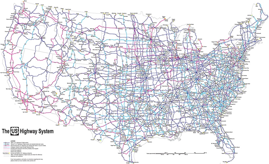
Unique highway map showing the current and historic system of US routes
SKU:
$60.00
$60.00 - $150.00
per item
When you have chosen from among the product options below, the price range displayed above will change to indicate the exact price for the specific configuration you have chosen. You can find more details about these options below.
|
What is unique about this map?
Most maps portray a snapshot in time. For example, a highway map published in 1956 would have illustrated the route network as it existed at that time, but it would not have included any of the highways that were decommissioned prior to 1956, nor any of the future highways that would be commissioned after 1956. What makes this map unique is: rather than portraying a snapshot in time, it shows on a single map all of the US routes that have ever existed (regardless of when they existed).
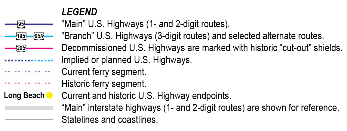
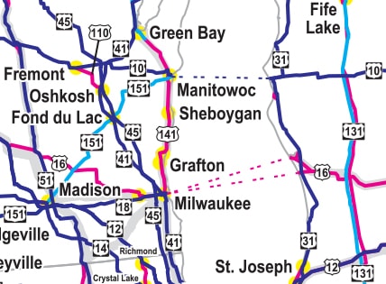
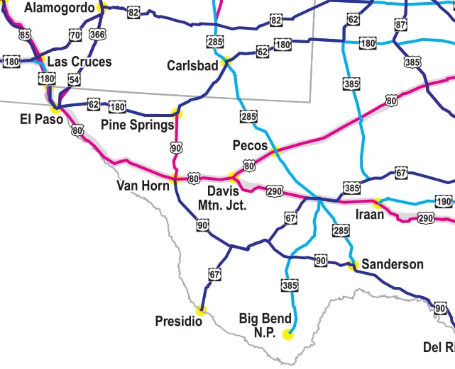
More details This map, then, shows the entire system of US routes* and is continually revised and updated (most recent update: Dec. 2023). One- and two-digit main routes (or "parent" routes) are depicted with purple lines; three-digit branch routes (or "child" routes) are shown in blue; decommissioned routes are red. Locations of current and historic endpoints are labeled. Hover over the images above to see examples. *Note: US highways are not the same as Interstate highways. The focus of this map is the US route system, which was originally commissioned in 1926, and which predates the Interstate highway system by about 30 years. Main Interstate routes are also shown on this map, but inconspicuously and only for reference, and they are not labeled. The map was originally designed for the 3' x 4' configuration, and the labels are more legible at that size. If the map will be displayed on a wall, the 3' x 4' size is the best option in most cases. At the 2' x 3' size, the labels are still legible, but one needs to be closer to the map in order to read it. The smaller size makes the 2' x 3' map easier to transport. The map is printed on paper. Your map will be rolled in a cardboard tube in order to avoid creases (allow time to flatten). Or you can choose to have your map mounted on foam core board and delivered flat. Prices shown here are valid for U.S. customers only. Shipped via UPS or FedEx, maps usually reach almost any U.S. address in about a week.
Note that all proceeds from the sale of this map are used to fund usends.com: its continued online presence, ongoing maintenance, content updates, etc. Thank you for your support! |
|